Digital Borders:
Crossing Lines in Virtual Space.
Artist in Resident,
Studio Pharus, 2018.
In the exhibition "End of the Contours", graphic representations and objects were displayed that aim to provoke questions on the freedom of the internet, human rights, international codes of conduct and the state of the planet in the digital age.
With the birth of the free, world wide internet, there were no rules, everyone who could get online could have unlimited access with the possibilities to upload content, send emails and create websites. It was the future, and it was open source and unmonitored.
Now, various countries have set their own rules. It's widely known that China has heavy restrictions for public access that includes international social media sites for example. Globally, restrictions descended to define legal digital behaviour.
Curiously, Estonia became the first country to open its digital borders, inviting the world to register as an e-citizen. In contrast over 100 countries deny Google Street View access or the rights to document the lands internal roads, with the extreme of Egypt which demands any glimpse of its landscape to be blurred out.
There is something interesting about physical borders having differing digital rules, and that beyond this are questions of virtual countries, e-citizenships and human rights which this project aims to explore.
Screenshots taken from just beyond the borders into restricted countries


Artist Residency process video,
Studio Pharus, Sao Paulo, 2018.


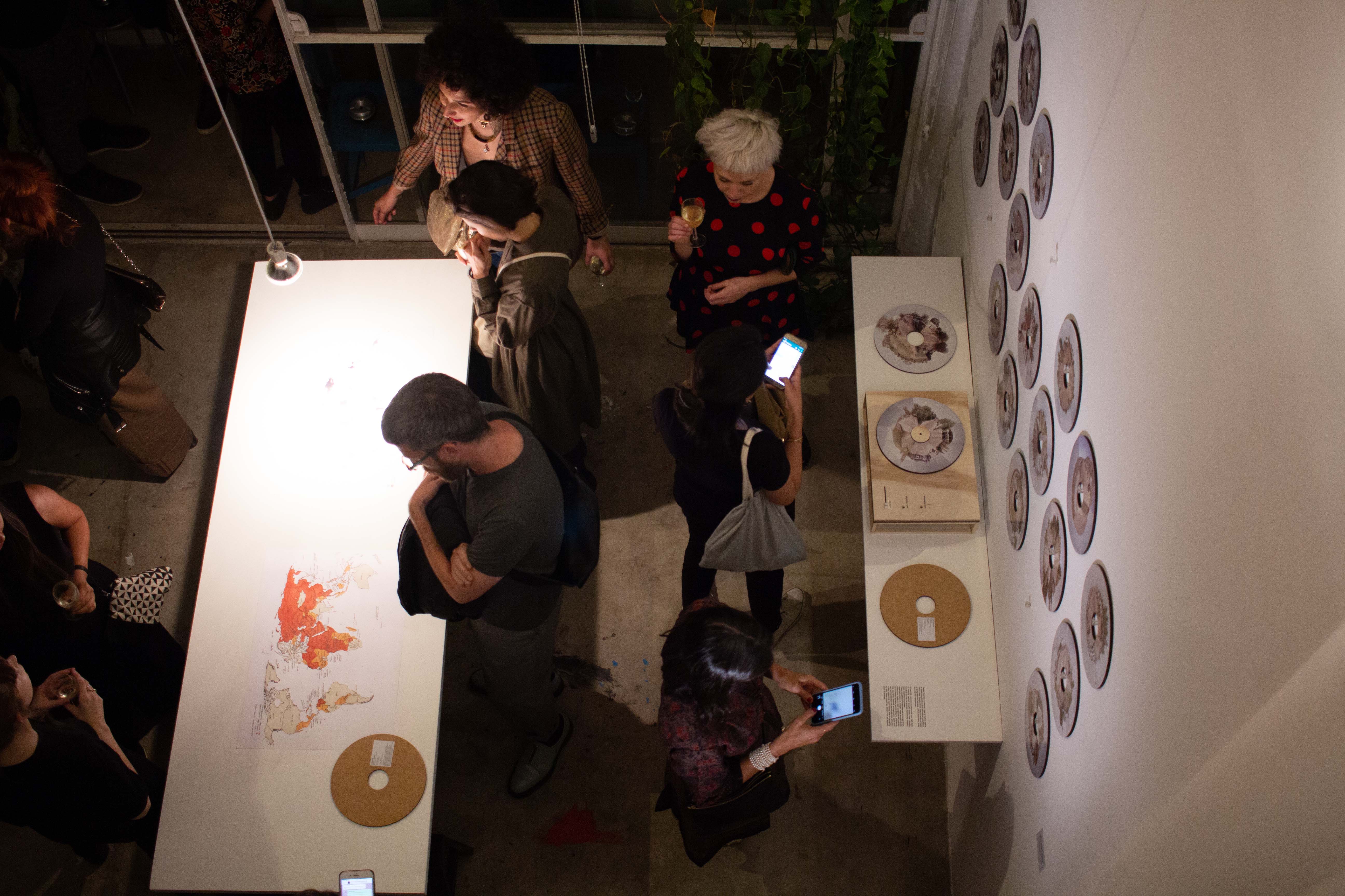
Photography in exhibition,
Studio Pharus, Sao Paulo, 2018
Using Google Street View as a tool for exploring the restrictions on virtual maps, it became evident that borders were often crossed by roads that Google mapped to varying extent. By virtually driving around the outskirts of restricted countries, an impression of the internal terrains, colours and cultures are gained.
A multitude of countries with varying degrees of restrictions, which included Google Street View, were surrounded by countries with no such restrictions. This allowed external, virtual access. However many restricted countries were landlocked amidst countries with equal restrictions. Two maps displayed in exhibition mapped both Googles coverage and internet restrictions worldwide and referenced the both digitally accessible or reachable and virtually landlocked nations.
The gathered imagery was stitched together to form a series of discs and displayed in exhibition in an informative, graphic and comparable manner. Each disc, representing 1 in the selection of 21 countries, carries information on the countries internet restrictions
Each disc may be taken and is playable on a custom made turntable which allows discs to be spun, reviewing the colour spectrum of the countries landscapes and climate, symbolising the viewing restriction to its digital borders. The more accessible the country, the greater the impression was able to create.


